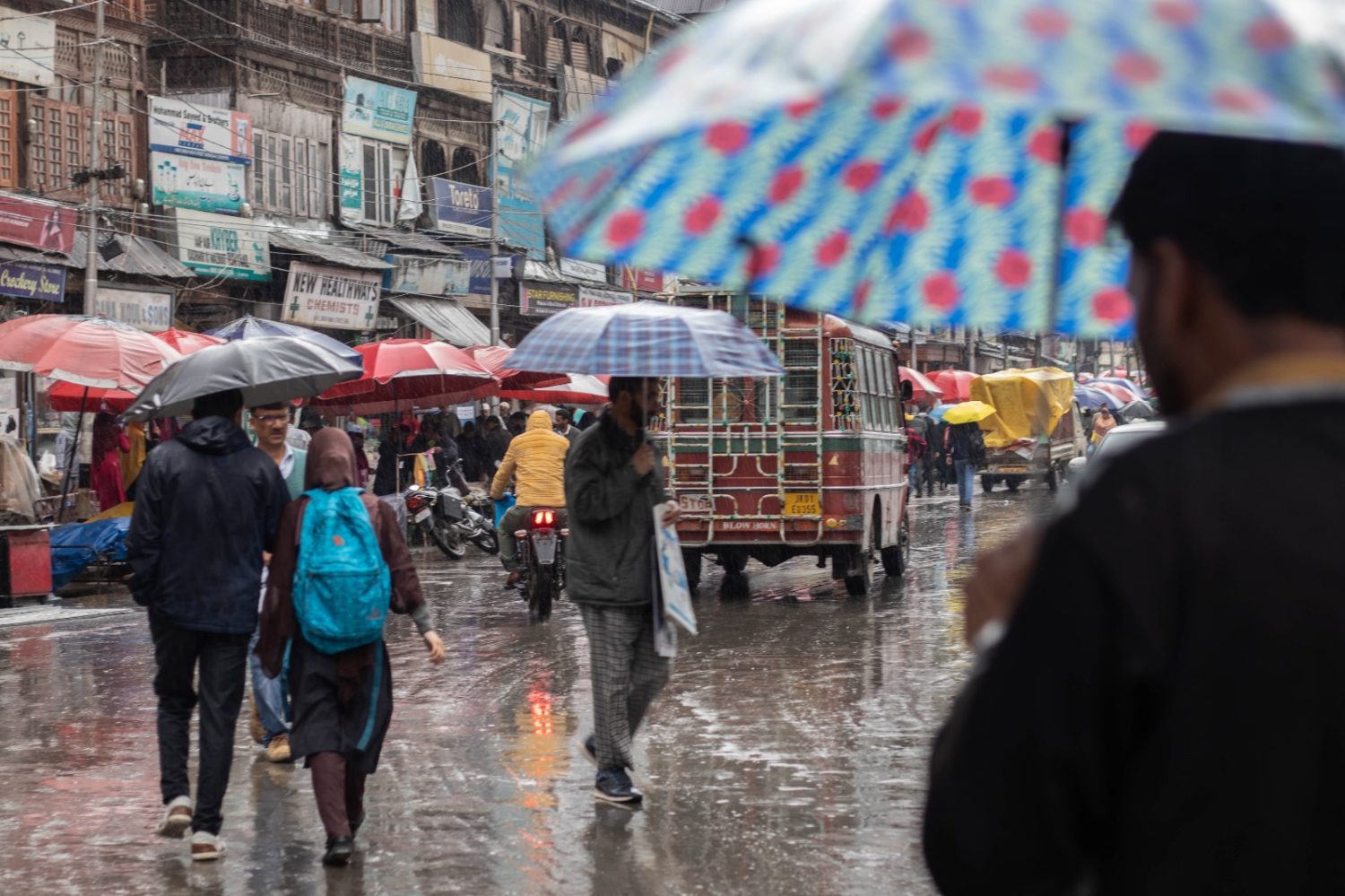
Srinagar: As two Western Disturbances are most likely to affect J&K and adjoining areas, weatherman on Saturday forecast an extended wet spell from afternoon of January 28 till February 3. “A couple of moderate Western Disturbances most likely to affect J&K and adjoining areas from 28th afternoon onwards,” a meteorological department official told GNS.
Under the influence of weather systems, he said, an “extended” wet spell from Sunday (afternoon) onwards till February 3 was most likely over J&K and adjoining areas.
He said on January 28-29, there is possibility of light to moderate rain/snow at many places with “heavy snowfall” over isolated higher reaches of Kashmir Division (Kupwara, Baramulla, Bandipora, Ganderbal, Shopian and Kulgam) during the night of January 28 late afternoon to January 29 late afternoon and evening.
On January 30-31, there is possibility of light to moderate rain and snow at many places with chances of “heavy snowfall” over few higher reaches (Kupwara, Baramulla, Bandipora, Ganderbal, Shopian and Kulgam).
From February 1-3, he said, there is possibility of light to moderate rain and snow at many places. “There is possibility of intermittent light to moderate rain with thunder and lightning in plains of Jammu Division with light snowfall over higher reaches and moderate snowfall over isolated higher reaches during 28th night to 3rd February (afternoon)”
The MeT office issued advisory, saying that the system may lead to temporary closure of roads of higher reaches and important passes like Sinthan pass, Mughal Road, Sadhna and Razdan pass, Zojila etc. particularly during January 28-31. “Travellers are advised to plan accordingly,” he said.
He said farmers are advised to withhold irrigation and fertilizer application and drain out excess water from orchards and fields during the period. “A significant drop in day temperature is expected during the period,” he said.
Meanwhile, night temperature hovered above normal at most places barring twin capitals with Srinagar recording a low of minus 2.3°C against minus 0.5°C on previous night and it was 1.3°C below normal for the summer capital of J&K for this time of the year.
Qazigund recorded a minimum of 2.2°C against minus 0.2°C on the previous night, he said. The minimum temperature was 0.4°C above normal for the gateway town of Kashmir, the MeT official said.
Pahalgam recorded a low of minus 5.1°C against minus 0.4°C on the previous night and it was 1.0°C above normal for the famous resort in south Kashmir.
Kokernag, also in south Kashmir, recorded a minimum of minus 0.8°C against minus 0.1°C on the previous night and the temperature was above normal by 1.8°C for the place, the official said.
Kupwara town in north Kashmir recorded a low of minus 2.4°C against 2.5°C on the previous night and it was 0.1°C above normal there, the official said.
Gulmarg, the official said, recorded a low of minus 6.4°C against minus 3.7°C on the previous night and the temperature was 1.1°C above normal for the world famous skiing resort in north Kashmir.
Jammu, he said, recorded a minimum of 7.0°C and it was below normal by 1.7°C for the winter capital of J&K.
Banihal recorded a low of 0.4°C, Batote 3.1°C and Bhaderwah minus 0.2°C, he said.
Kashmir valley is under ‘Chillai-Kalan’, the 40-day harsh period of winter, which will end on January 29. However it does not mean an end to the winter. It is followed by a 20-day-long period called ‘Chillai-Khurd’ that occurs between January 30 and February 19 and a 10-day-long period ‘Chillai-Bachha’ (baby cold) which is from February 20 to March 1. (GNS)