Villages of Kupwara, Bandipora, Budgam districts most affected
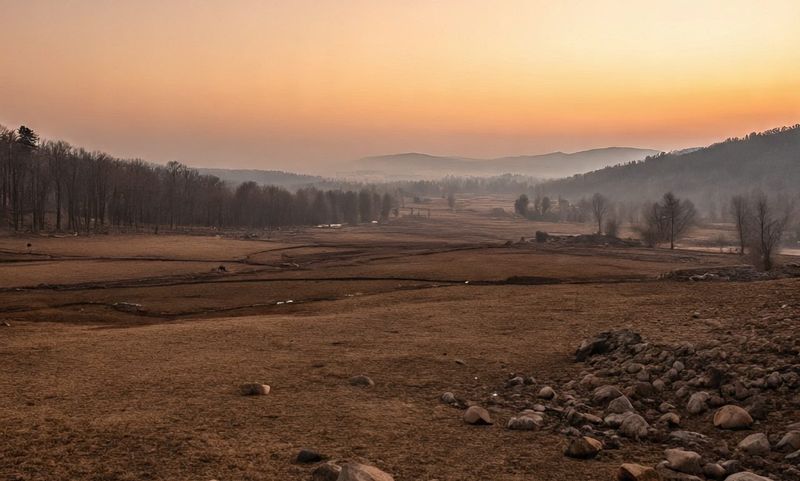
An unprecedented water crisis is unfolding in the Kashmir valley as a lengthy dry spell has led to a record low level of water in the Jhelum river, one of the main source of water supply in the region.
The areas most affected by the crisis include north Kashmir’s Kupwara and Bandipora districts and central Kashmir’s Budgam district, where dozens of villages are without drinking water supply.
In north Kashmir’s Sopore town, the water is being supplied to rural and urban areas on alternate days, a fallout of the alarming reduction at the source of water supply, an official of Public Health Engineering department said.
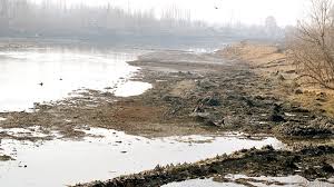
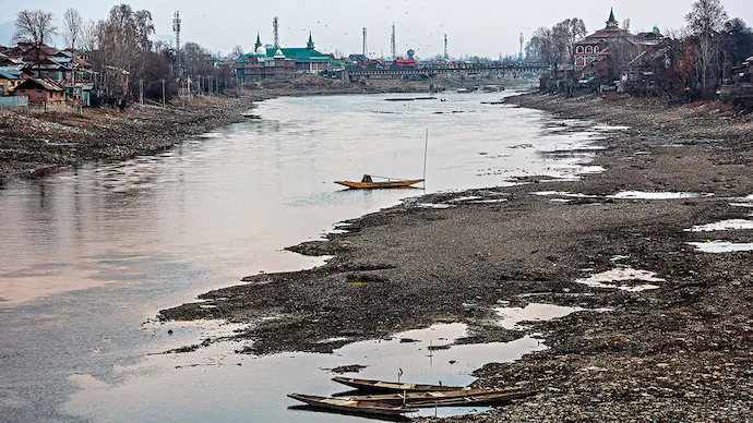
Abdul Wahid, Chief Engineer of Public Health Engineering department, said the primary sources of water supply have depleted due to the long dry spell. “At some places, Jhelum’s bed has become visible… if dry spell continues further, it will be an alarming situation,” the official said.
The official said that they have worked out curtailment schedules to meet the supply and demand as the depletion in the water supply has reached 30 per cent. “The depletion varies from place to place, at some places we are short by 20 per cent and at other places, we are short by 40 per cent,” he said.
Wahid said the department would tap the ground water to meet the consumer demand if the dry spell continues. “We will try to install hand pumps and dig bore-wells. We are already supplying water to many places in tankers,” he said. “We are attempting everything to ensure that adequate supply reaches the affected areas,” he said.
However, Nazir Joo, a resident of Divar Yaknampora village of Baramulla district, said his village had been without the water supply for one month.
The unfolding crisis has its genesis in the scanty precipitation for the past three months which has forced the Jhelum river to run at its lowest level in the past six decades. The river dipped to a level of minus 0.70 feet at Sangam in south Kashmir, which is the lowest in its recorded history.
The Jhelum river — which was the source of a devastating flood in September 2014 — runs nearly 180 km south to north from its origin in the Verinag spring and is fed by at least a dozen tributaries, which source themselves from melting glaciers and rain water.
It is the river’s lowest water level since 1955 when the Irrigation and Flood Control Department began maintaining a record. The river’s water level is likely to drop further as the forecast suggests that the dry spell will continue.


